The Ivanhoe Way at Red Hill
Introduction
The photograph on this page of The Ivanhoe Way at Red Hill by Trevor Rickard as part of the Geograph project.
The Geograph project started in 2005 with the aim of publishing, organising and preserving representative images for every square kilometre of Great Britain, Ireland and the Isle of Man.

There are currently over 7.5m images from over 14,400 individuals and you can help contribute to the project by visiting https://www.geograph.org.uk
The Ivanhoe Way at Red Hill
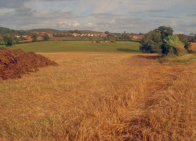
Image: © Trevor Rickard Taken: 29 Aug 2009
From the Ivanhoe Way looking east towards Whitwick. Small herd of bullocks in the next field and a large pile of dung on the left waits to be spread on the recently harvested field. This long distance path covers a 35-mile circular route around North Leicestershire. http://www.leics.gov.uk/index/environment/countryside/walking/ivanhoeway.htm
Images are licensed for reuse under creativecommons.org/licenses/by-sa/2.0
Image Location
Latitude
52.746806
Longitude
-1.373476