Stone walls and rough grazing, Folda
Introduction
The photograph on this page of Stone walls and rough grazing, Folda by Maigheach-gheal as part of the Geograph project.
The Geograph project started in 2005 with the aim of publishing, organising and preserving representative images for every square kilometre of Great Britain, Ireland and the Isle of Man.

There are currently over 7.5m images from over 14,400 individuals and you can help contribute to the project by visiting https://www.geograph.org.uk
Stone walls and rough grazing, Folda
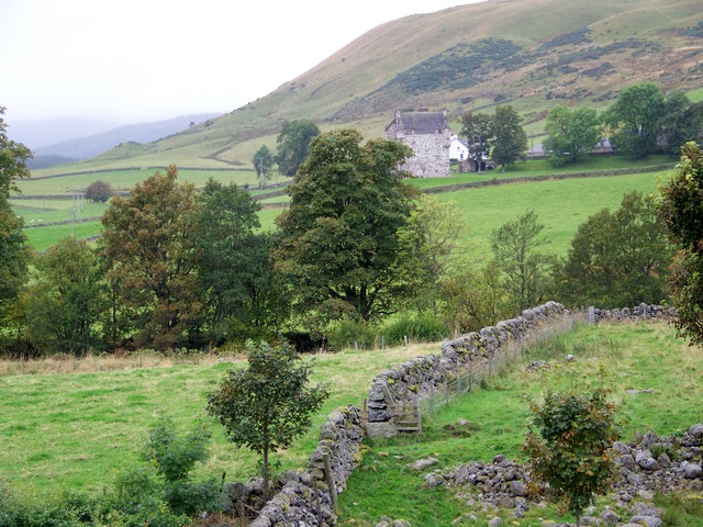
Image: © Maigheach-gheal Taken: 2 Oct 2009
Tiny fields with stone walls in the valley of the River Isla. Forter Castle is in the distance.
Images are licensed for reuse under creativecommons.org/licenses/by-sa/2.0
Image Location
Latitude
56.765327
Longitude
-3.332237