Bench mark above Barrelwell Hill
Introduction
The photograph on this page of Bench mark above Barrelwell Hill by John S Turner as part of the Geograph project.
The Geograph project started in 2005 with the aim of publishing, organising and preserving representative images for every square kilometre of Great Britain, Ireland and the Isle of Man.

There are currently over 7.5m images from over 14,400 individuals and you can help contribute to the project by visiting https://www.geograph.org.uk
Bench mark above Barrelwell Hill
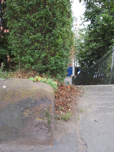
Image: © John S Turner Taken: 14 Oct 2009
This bench mark is close to the end of the low sandstone wall in front of St Paul's Church, Boughton. The steps on the right go down to the private road known as Barrelwell Hill.
Images are licensed for reuse under creativecommons.org/licenses/by-sa/2.0
Image Location
Latitude
53.192025
Longitude
-2.872688