Thorncombe: Laymore Farmhouse
Introduction
The photograph on this page of Thorncombe: Laymore Farmhouse by Martin Bodman as part of the Geograph project.
The Geograph project started in 2005 with the aim of publishing, organising and preserving representative images for every square kilometre of Great Britain, Ireland and the Isle of Man.

There are currently over 7.5m images from over 14,400 individuals and you can help contribute to the project by visiting https://www.geograph.org.uk
Thorncombe: Laymore Farmhouse
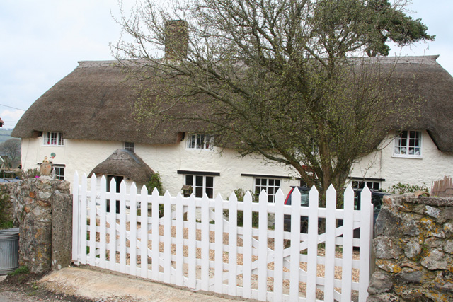
Image: © Martin Bodman Taken: 16 Apr 2006
Now a private house. By the roads from Winsham to Drimpton and to Birdsmoorgate. Looking north-north-west
Images are licensed for reuse under creativecommons.org/licenses/by-sa/2.0
Image Location
Latitude
50.838128
Longitude
-2.87036