Slurry pit near Symonds Farm
Introduction
The photograph on this page of Slurry pit near Symonds Farm by Bob Jones as part of the Geograph project.
The Geograph project started in 2005 with the aim of publishing, organising and preserving representative images for every square kilometre of Great Britain, Ireland and the Isle of Man.

There are currently over 7.5m images from over 14,400 individuals and you can help contribute to the project by visiting https://www.geograph.org.uk
Slurry pit near Symonds Farm
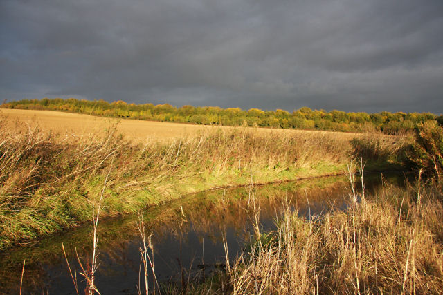
Image: © Bob Jones Taken: 12 Oct 2009
This stream-like pit behind an area of hard-standing, adjacent to the minor road between Risby and Great Saxham, contains slurry. The line of trees in the distance lies in adjacent squares.
Images are licensed for reuse under creativecommons.org/licenses/by-sa/2.0
Image Location
Latitude
52.253646
Longitude
0.618934