Pettingale Road, Croesyceiliog
Introduction
The photograph on this page of Pettingale Road, Croesyceiliog by Jaggery as part of the Geograph project.
The Geograph project started in 2005 with the aim of publishing, organising and preserving representative images for every square kilometre of Great Britain, Ireland and the Isle of Man.

There are currently over 7.5m images from over 14,400 individuals and you can help contribute to the project by visiting https://www.geograph.org.uk
Pettingale Road, Croesyceiliog
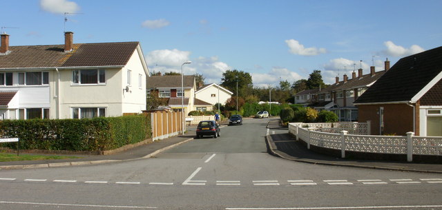
Image: © Jaggery Taken: 8 Oct 2009
This is the northern end of Pettingale Road, at the junction with The Highway. The southern end joins The Highway about 400 metres to the south, having looped around and run parallel to the A4042 (Croesyceiliog Bypass) for most of its length.
Images are licensed for reuse under creativecommons.org/licenses/by-sa/2.0
Image Location
Latitude
51.663876
Longitude
-3.0048