Crossroads, A3259
Introduction
The photograph on this page of Crossroads, A3259 by Derek Harper as part of the Geograph project.
The Geograph project started in 2005 with the aim of publishing, organising and preserving representative images for every square kilometre of Great Britain, Ireland and the Isle of Man.

There are currently over 7.5m images from over 14,400 individuals and you can help contribute to the project by visiting https://www.geograph.org.uk
Crossroads, A3259
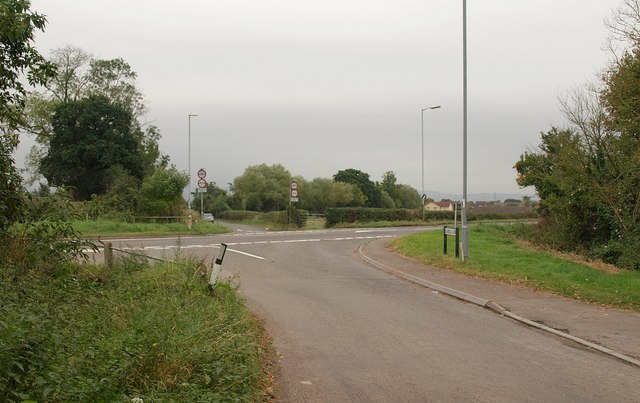
Image: © Derek Harper Taken: 9 Oct 2009
This is by Proctor's - now Prockter's - Farm. The lane from West Monkton reaches the main road between Monkton Elm and Monkton Heathfield (to the right) and continues on the far side to the nearby A38.
Images are licensed for reuse under creativecommons.org/licenses/by-sa/2.0
Image Location
Latitude
51.040457
Longitude
-3.05615