Ashford Close, Croesyceiliog
Introduction
The photograph on this page of Ashford Close, Croesyceiliog by Jaggery as part of the Geograph project.
The Geograph project started in 2005 with the aim of publishing, organising and preserving representative images for every square kilometre of Great Britain, Ireland and the Isle of Man.

There are currently over 7.5m images from over 14,400 individuals and you can help contribute to the project by visiting https://www.geograph.org.uk
Ashford Close, Croesyceiliog
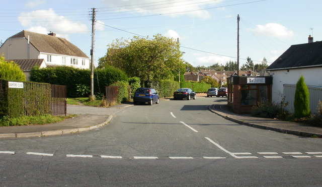
Image: © Jaggery Taken: 8 Oct 2009
Heading away from The Highway towards the junction with Ashford Close North and Ashford Close South. It appears on some maps that the far end of Ashford Close joins with The Plantation, but that is not so. The ends of the two roads are separated by trees.
Images are licensed for reuse under creativecommons.org/licenses/by-sa/2.0
Image Location
Latitude
51.658494
Longitude
-3.003235