Wareham Golf Club
Introduction
The photograph on this page of Wareham Golf Club by Peter Elsdon as part of the Geograph project.
The Geograph project started in 2005 with the aim of publishing, organising and preserving representative images for every square kilometre of Great Britain, Ireland and the Isle of Man.

There are currently over 7.5m images from over 14,400 individuals and you can help contribute to the project by visiting https://www.geograph.org.uk
Wareham Golf Club
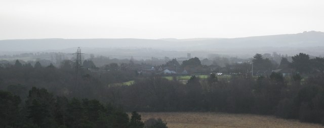
Image: © Peter Elsdon Taken: 24 Jan 2009
Photo taken from the top of Great Ovens Hill, golf club to the right just beyond near trees. Lady St Mary's Church in the middle distance. Wareham to Sandford road runs to the front edge of the white building in the centre of the frame
Images are licensed for reuse under creativecommons.org/licenses/by-sa/2.0
Image Location
Latitude
50.69879
Longitude
-2.11124