Trowse Mill
Introduction
The photograph on this page of Trowse Mill by Graham Hardy as part of the Geograph project.
The Geograph project started in 2005 with the aim of publishing, organising and preserving representative images for every square kilometre of Great Britain, Ireland and the Isle of Man.

There are currently over 7.5m images from over 14,400 individuals and you can help contribute to the project by visiting https://www.geograph.org.uk
Trowse Mill
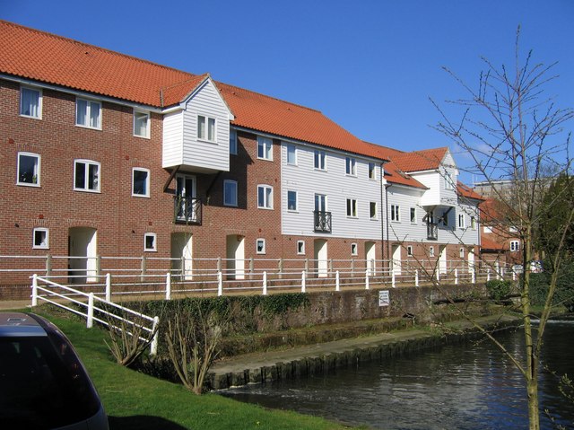
Image: © Graham Hardy Taken: 17 Apr 2006
The mill was demolished in 1967; what you see today was built recently in a style and layout remarkably sympathetic to the old mill : http://www.norfolkmills.co.uk/Watermills/trowse.html In the background can be seen the top of Image
Images are licensed for reuse under creativecommons.org/licenses/by-sa/2.0
Image Location
Latitude
52.613068
Longitude
1.311963