Cattle above Blairgowrie
Introduction
The photograph on this page of Cattle above Blairgowrie by Maigheach-gheal as part of the Geograph project.
The Geograph project started in 2005 with the aim of publishing, organising and preserving representative images for every square kilometre of Great Britain, Ireland and the Isle of Man.

There are currently over 7.5m images from over 14,400 individuals and you can help contribute to the project by visiting https://www.geograph.org.uk
Cattle above Blairgowrie
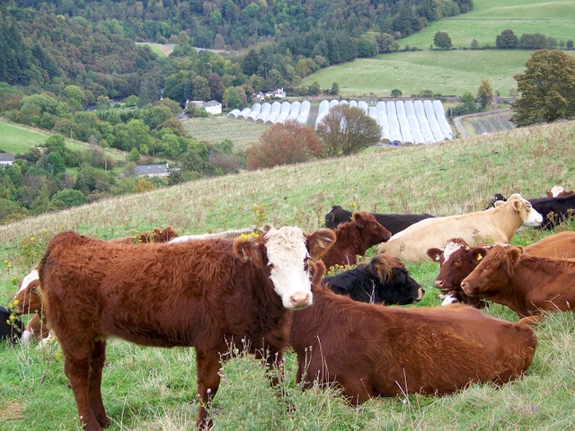
Image: © Maigheach-gheal Taken: 28 Sep 2009
This part of Perthshire, with its sandstone loam, is the centre of the soft fruit industry that is restoring the prosperity first brought to the area by the jute mills. These youngsters graze on rough grass way above the fertile valley and the lower fruit growing slopes.
Images are licensed for reuse under creativecommons.org/licenses/by-sa/2.0
Image Location
Latitude
56.600071
Longitude
-3.359805