Mill Pond, Waste Lane, Kelsall
Introduction
The photograph on this page of Mill Pond, Waste Lane, Kelsall by Sue Adair as part of the Geograph project.
The Geograph project started in 2005 with the aim of publishing, organising and preserving representative images for every square kilometre of Great Britain, Ireland and the Isle of Man.

There are currently over 7.5m images from over 14,400 individuals and you can help contribute to the project by visiting https://www.geograph.org.uk
Mill Pond, Waste Lane, Kelsall
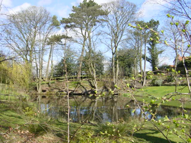
Image: © Sue Adair Taken: 16 Apr 2006
Mill pond near Delamere Farm on Waste Lane, Kelsall. The old sandstone-built mill has been converted for residential use and the pond is now in their landscaped garden.
Images are licensed for reuse under creativecommons.org/licenses/by-sa/2.0
Image Location
Latitude
53.207004
Longitude
-2.700659