Footpath alongside the A2290 Thanet Way
Introduction
The photograph on this page of Footpath alongside the A2290 Thanet Way by David Anstiss as part of the Geograph project.
The Geograph project started in 2005 with the aim of publishing, organising and preserving representative images for every square kilometre of Great Britain, Ireland and the Isle of Man.

There are currently over 7.5m images from over 14,400 individuals and you can help contribute to the project by visiting https://www.geograph.org.uk
Footpath alongside the A2290 Thanet Way
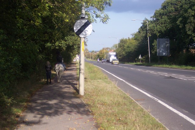
Image: © David Anstiss Taken: 10 Oct 2009
This path leads along this link road from Borstal Hill,Whitstable to Millstraoud Road, Tankerton and Chestfield. The pony, rider and companion are walking beside Benacre Wood, which is used to exercise horses and ponies.
Images are licensed for reuse under creativecommons.org/licenses/by-sa/2.0
Image Location
Latitude
51.342092
Longitude
1.029169