Rodhuish Cross
Introduction
The photograph on this page of Rodhuish Cross by Barbara Cook as part of the Geograph project.
The Geograph project started in 2005 with the aim of publishing, organising and preserving representative images for every square kilometre of Great Britain, Ireland and the Isle of Man.

There are currently over 7.5m images from over 14,400 individuals and you can help contribute to the project by visiting https://www.geograph.org.uk
Rodhuish Cross
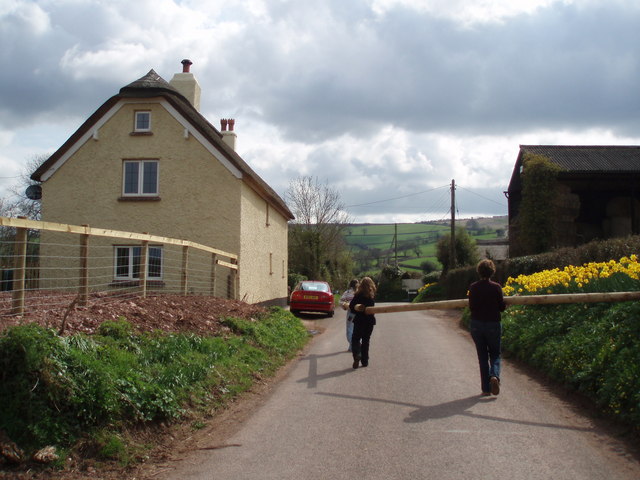
Image: © Barbara Cook Taken: 16 Apr 2006
The wooden poles were being carried from the garden of the thatched cottage on the left. I don't know where they were heading!
Images are licensed for reuse under creativecommons.org/licenses/by-sa/2.0
Image Location
Latitude
51.150684
Longitude
-3.415396