Nuneaton outer suburb
Introduction
The photograph on this page of Nuneaton outer suburb by John Rostron as part of the Geograph project.
The Geograph project started in 2005 with the aim of publishing, organising and preserving representative images for every square kilometre of Great Britain, Ireland and the Isle of Man.

There are currently over 7.5m images from over 14,400 individuals and you can help contribute to the project by visiting https://www.geograph.org.uk
Nuneaton outer suburb
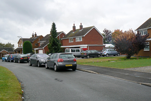
Image: © John Rostron Taken: 11 Oct 2009
These houses, on the St Nicholas Park estate were built in 1981. The estate forms a large suburb of around one square kilometre, around two kilometres to the north-east of Nuneaton town centre.
Images are licensed for reuse under creativecommons.org/licenses/by-sa/2.0
Image Location
Latitude
52.535891
Longitude
-1.442824