West Orchard United Reformed Church Stivichall
Introduction
The photograph on this page of West Orchard United Reformed Church Stivichall by Ian Rob as part of the Geograph project.
The Geograph project started in 2005 with the aim of publishing, organising and preserving representative images for every square kilometre of Great Britain, Ireland and the Isle of Man.

There are currently over 7.5m images from over 14,400 individuals and you can help contribute to the project by visiting https://www.geograph.org.uk
West Orchard United Reformed Church Stivichall
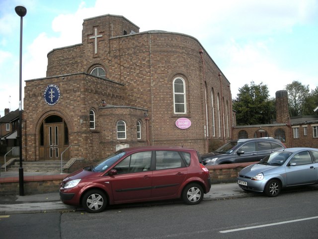
Image: © Ian Rob Taken: 10 Oct 2009
On the corner of Baginton road and the Chesils
Images are licensed for reuse under creativecommons.org/licenses/by-sa/2.0
Image Location
Latitude
52.384636
Longitude
-1.515107