The Ballyedock Road from the A2 at Ardtole
Introduction
The photograph on this page of The Ballyedock Road from the A2 at Ardtole by Eric Jones as part of the Geograph project.
The Geograph project started in 2005 with the aim of publishing, organising and preserving representative images for every square kilometre of Great Britain, Ireland and the Isle of Man.

There are currently over 7.5m images from over 14,400 individuals and you can help contribute to the project by visiting https://www.geograph.org.uk
The Ballyedock Road from the A2 at Ardtole
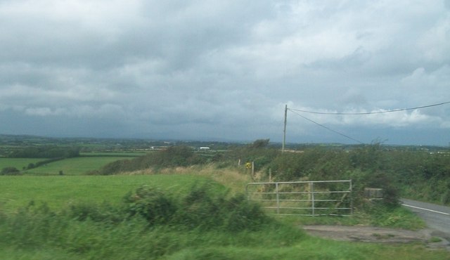
Image: © Eric Jones Taken: 20 Aug 2009
This road plunges into the depth of the Lecale countryside.
Images are licensed for reuse under creativecommons.org/licenses/by-sa/2.0
Image Location
Latitude
54.27428
Longitude
-5.599463