Brougham Hall
Introduction
The photograph on this page of Brougham Hall by Pam Brophy as part of the Geograph project.
The Geograph project started in 2005 with the aim of publishing, organising and preserving representative images for every square kilometre of Great Britain, Ireland and the Isle of Man.

There are currently over 7.5m images from over 14,400 individuals and you can help contribute to the project by visiting https://www.geograph.org.uk
Brougham Hall
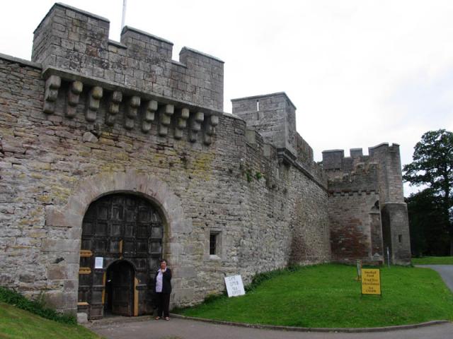
Image: © Pam Brophy Taken: Unknown
This Manor House situated in the south eastern corner of the square, has seen all sorts of troubled times. It is now a craft centre and produces delicious smoked cheese.
Images are licensed for reuse under creativecommons.org/licenses/by-sa/2.0
Image Location


Leaflet Map data © OpenStreetMap
Latitude
54.649353
Longitude
-2.737649