Track and bridle path
Introduction
The photograph on this page of Track and bridle path by Nigel Mykura as part of the Geograph project.
The Geograph project started in 2005 with the aim of publishing, organising and preserving representative images for every square kilometre of Great Britain, Ireland and the Isle of Man.

There are currently over 7.5m images from over 14,400 individuals and you can help contribute to the project by visiting https://www.geograph.org.uk
Track and bridle path
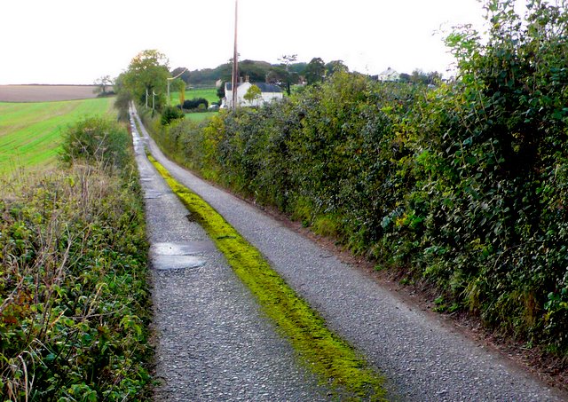
Image: © Nigel Mykura Taken: 11 Oct 2009
This track runs west from Lincoln Farm and passes Huntsman House as it rises to Muddox Barrow Coppice.
Images are licensed for reuse under creativecommons.org/licenses/by-sa/2.0
Image Location


Leaflet Map data © OpenStreetMap
Latitude
50.768534
Longitude
-2.205847