West Down near Winterborne Kingston
Introduction
The photograph on this page of West Down near Winterborne Kingston by Nigel Mykura as part of the Geograph project.
The Geograph project started in 2005 with the aim of publishing, organising and preserving representative images for every square kilometre of Great Britain, Ireland and the Isle of Man.

There are currently over 7.5m images from over 14,400 individuals and you can help contribute to the project by visiting https://www.geograph.org.uk
West Down near Winterborne Kingston
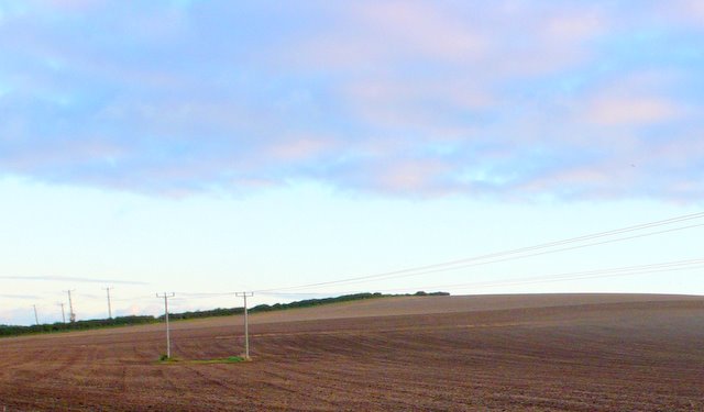
Image: © Nigel Mykura Taken: 11 Oct 2009
View south up the down from the bridle path that runs south west across the down from the Winterborne valley road.
Images are licensed for reuse under creativecommons.org/licenses/by-sa/2.0
Image Location
Latitude
50.77571
Longitude
-2.215948