New houses and undeveloped land, Chapelhall
Introduction
The photograph on this page of New houses and undeveloped land, Chapelhall by Richard Webb as part of the Geograph project.
The Geograph project started in 2005 with the aim of publishing, organising and preserving representative images for every square kilometre of Great Britain, Ireland and the Isle of Man.

There are currently over 7.5m images from over 14,400 individuals and you can help contribute to the project by visiting https://www.geograph.org.uk
New houses and undeveloped land, Chapelhall
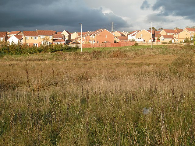
Image: © Richard Webb Taken: 4 Oct 2009
Looking across land awaiting development seen from the back of the Organon, now Schering-Plough building on York Road.
Images are licensed for reuse under creativecommons.org/licenses/by-sa/2.0
Image Location
Latitude
55.835523
Longitude
-3.952719