The Brook Field
Introduction
The photograph on this page of The Brook Field by Simon Carey as part of the Geograph project.
The Geograph project started in 2005 with the aim of publishing, organising and preserving representative images for every square kilometre of Great Britain, Ireland and the Isle of Man.

There are currently over 7.5m images from over 14,400 individuals and you can help contribute to the project by visiting https://www.geograph.org.uk
The Brook Field
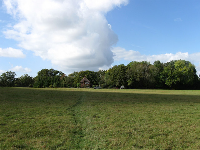
Image: © Simon Carey Taken: 10 Oct 2009
The name of the field according to the 1842 tithe map and once part of Middleton Common that was enclosed in the early 17th century. Middleton Cottages can be seen at the far end of the field.
Images are licensed for reuse under creativecommons.org/licenses/by-sa/2.0
Image Location
Latitude
50.945273
Longitude
-0.090239