Middleton Common Road
Introduction
The photograph on this page of Middleton Common Road by Simon Carey as part of the Geograph project.
The Geograph project started in 2005 with the aim of publishing, organising and preserving representative images for every square kilometre of Great Britain, Ireland and the Isle of Man.

There are currently over 7.5m images from over 14,400 individuals and you can help contribute to the project by visiting https://www.geograph.org.uk
Middleton Common Road
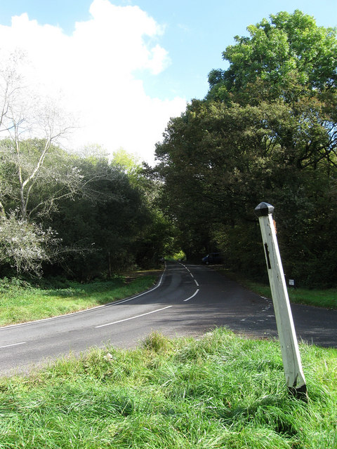
Image: © Simon Carey Taken: 10 Oct 2009
Viewed from the junction of Folders Lane East and Spatham Lane. The signpost has lost all its finger posts, the last one indicating Spatham Lane was in place over the summer but has now disappeared. The road itself links Ditchling Common to Plumpton Crossways.
Images are licensed for reuse under creativecommons.org/licenses/by-sa/2.0
Image Location
Latitude
50.944133
Longitude
-0.091994