New Drive, Seaham
Introduction
The photograph on this page of New Drive, Seaham by Andrew Curtis as part of the Geograph project.
The Geograph project started in 2005 with the aim of publishing, organising and preserving representative images for every square kilometre of Great Britain, Ireland and the Isle of Man.

There are currently over 7.5m images from over 14,400 individuals and you can help contribute to the project by visiting https://www.geograph.org.uk
New Drive, Seaham
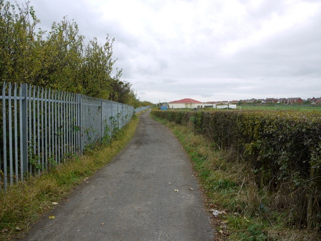
Image: © Andrew Curtis Taken: 9 Oct 2009
Provided access from Seaham Hall to the railway station. The land beyond the fence on the left was originally site of the Vane Tempest Colliery developed by the Londonderry Colliery Company between 1923 and 1928. The mine stretched out underneath the North Sea. The pit was closed in 1992 and demolished in 1994 http://www.keystothepast.info/article/10339/Site-Details?PRN=D3841
Images are licensed for reuse under creativecommons.org/licenses/by-sa/2.0
Image Location
Latitude
54.842791
Longitude
-1.347678