Track to Trowlesworthy Warren House
Introduction
The photograph on this page of Track to Trowlesworthy Warren House by Derek Harper as part of the Geograph project.
The Geograph project started in 2005 with the aim of publishing, organising and preserving representative images for every square kilometre of Great Britain, Ireland and the Isle of Man.

There are currently over 7.5m images from over 14,400 individuals and you can help contribute to the project by visiting https://www.geograph.org.uk
Track to Trowlesworthy Warren House
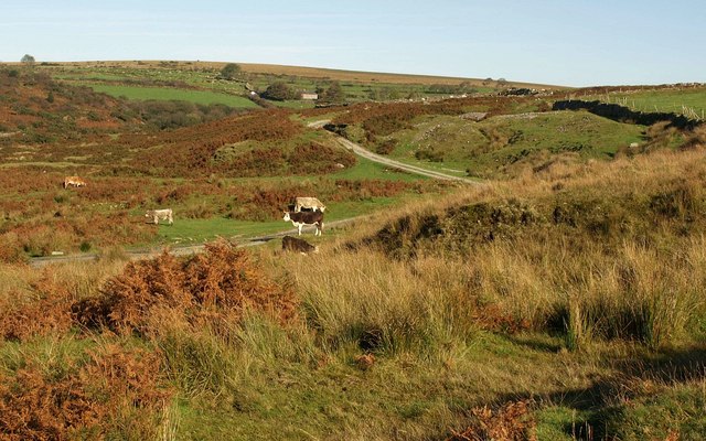
Image: © Derek Harper Taken: 8 Oct 2009
Further up Image as it passes grazing cattle and climbs away from the River Plym.
Images are licensed for reuse under creativecommons.org/licenses/by-sa/2.0
Image Location
Latitude
50.464797
Longitude
-4.022968