Un-paved track at Hay Green, Birdwell
Introduction
The photograph on this page of Un-paved track at Hay Green, Birdwell by Wendy North as part of the Geograph project.
The Geograph project started in 2005 with the aim of publishing, organising and preserving representative images for every square kilometre of Great Britain, Ireland and the Isle of Man.

There are currently over 7.5m images from over 14,400 individuals and you can help contribute to the project by visiting https://www.geograph.org.uk
Un-paved track at Hay Green, Birdwell
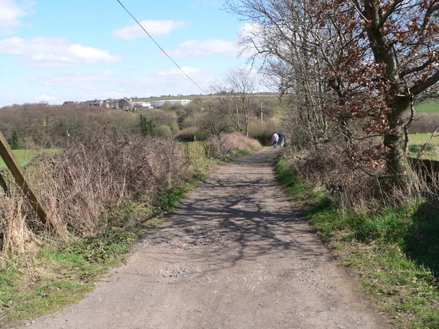
Image: © Wendy North Taken: 16 Apr 2006
The track emerges from the paved road at the last house in the hamlet of Hay Green. The majority of pre-existing farm buildings in this small hamlet have now been converted to residential use. This un-paved track will take these walkers in a ESE direction through open farmland towards Short Wood and the dismantled railway track.
Images are licensed for reuse under creativecommons.org/licenses/by-sa/2.0
Image Location
Latitude
53.509027
Longitude
-1.473726