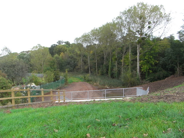
The Droitwich Barge Canal approaching the A449
Introduction
The photograph on this page of The Droitwich Barge Canal approaching the A449 by Chris Allen as part of the Geograph project.
The Geograph project started in 2005 with the aim of publishing, organising and preserving representative images for every square kilometre of Great Britain, Ireland and the Isle of Man.
There are currently over 7.5m images from over 14,400 individuals and you can help contribute to the project by visiting https://www.geograph.org.uk

Image: © Chris Allen Taken: 10 Oct 2009
Compare this with Image The line of trees on the right still marks the line of the weed choked canal. The metal fence is over the portal of the new tunnel under the A449. The new cut is between the portal and a bund in front of the weeds. A little water can be seen through the railings. I understand that the Barge Canal from the Severn to Droitwich is to be full navigable before the Junction Canal and that this may happen during the Winter of 2009/10. The lock are all just about done and the major remaining job is to complete dredging all the pounds. Some dredging of the section between Droitwich and lock No. 1 has been undertaken but I haven't photographed it.

