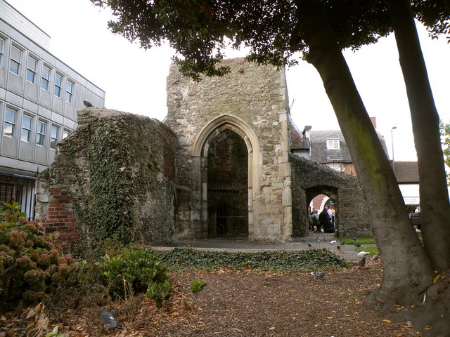
Ruins of St. Thomas a Becket chapel
Introduction
The photograph on this page of Ruins of St. Thomas a Becket chapel by Robert Edwards as part of the Geograph project.
The Geograph project started in 2005 with the aim of publishing, organising and preserving representative images for every square kilometre of Great Britain, Ireland and the Isle of Man.
There are currently over 7.5m images from over 14,400 individuals and you can help contribute to the project by visiting https://www.geograph.org.uk

Image: © Robert Edwards Taken: 10 Oct 2009
These ruins stand along Brentwood's High Street, close to The Baytree Centre. The chapel dates back to the 13th century and all the remains now is part of the west and north wall of the nave and the lower half of the 14th century tower. The fabric of the tower shows some re-used Roman brick. The building remained in use as a chapel until 1835 and it was then used as a boys school until 1869 when it was mostly demolished.

