Former mill, Midsomer Norton
Introduction
The photograph on this page of Former mill, Midsomer Norton by Derek Harper as part of the Geograph project.
The Geograph project started in 2005 with the aim of publishing, organising and preserving representative images for every square kilometre of Great Britain, Ireland and the Isle of Man.

There are currently over 7.5m images from over 14,400 individuals and you can help contribute to the project by visiting https://www.geograph.org.uk
Former mill, Midsomer Norton
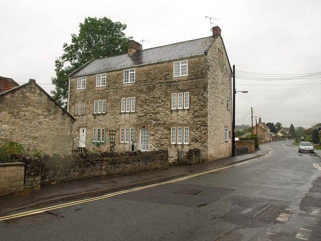
Image: © Derek Harper Taken: 7 Oct 2009
"C18 or early C19. Large 3 storey mill block in coursed limestone rubble" http://www.imagesofengland.org.uk/details/default.aspx?id=31979 . The mill, whose address has been renumbered since the listing, is on a continuation of Withies Park called "Steam Mills". At the left end, the building extends almost to the River Somer.
Images are licensed for reuse under creativecommons.org/licenses/by-sa/2.0
Image Location
Latitude
51.282408
Longitude
-2.488877