College Burn & Bowmont Water
Introduction
The photograph on this page of College Burn & Bowmont Water by Hill Walker as part of the Geograph project.
The Geograph project started in 2005 with the aim of publishing, organising and preserving representative images for every square kilometre of Great Britain, Ireland and the Isle of Man.

There are currently over 7.5m images from over 14,400 individuals and you can help contribute to the project by visiting https://www.geograph.org.uk
College Burn & Bowmont Water
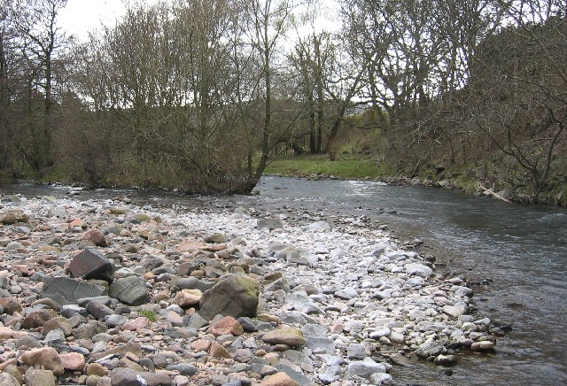
Image: © Hill Walker Taken: 16 Apr 2006
College Burn & Bowmont Water meet to form the River Glen, this flows into the River Till then River Tweed. Follow Bowmont Water Image
Images are licensed for reuse under creativecommons.org/licenses/by-sa/2.0
Image Location
Latitude
55.568085
Longitude
-2.145858