Picnic site off Rayners Lane
Introduction
The photograph on this page of Picnic site off Rayners Lane by Mike Sharpe as part of the Geograph project.
The Geograph project started in 2005 with the aim of publishing, organising and preserving representative images for every square kilometre of Great Britain, Ireland and the Isle of Man.

There are currently over 7.5m images from over 14,400 individuals and you can help contribute to the project by visiting https://www.geograph.org.uk
Picnic site off Rayners Lane
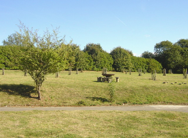
Image: © Mike Sharpe Taken: 24 Sep 2009
Redeveloping the old Lenham Hospital grounds, this is a cherry (and other fruit) tree orchard project just above the North Downs Way. Looking Southsoutheast from here one can see all the way to Fairlight Cliffs (on a clear day!).
Images are licensed for reuse under creativecommons.org/licenses/by-sa/2.0
Image Location
Latitude
51.238435
Longitude
0.75427