Orchard at Lowbands
Introduction
The photograph on this page of Orchard at Lowbands by Roger Davies as part of the Geograph project.
The Geograph project started in 2005 with the aim of publishing, organising and preserving representative images for every square kilometre of Great Britain, Ireland and the Isle of Man.

There are currently over 7.5m images from over 14,400 individuals and you can help contribute to the project by visiting https://www.geograph.org.uk
Orchard at Lowbands
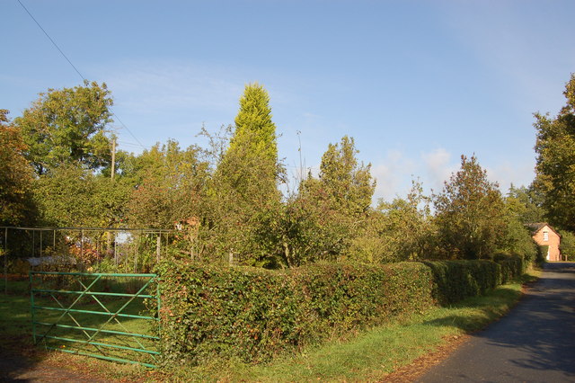
Image: © Roger Davies Taken: 10 Oct 2009
An old apple and pear orchard growing in the Chartist settlement of Lowbands. Lowbands was the second Chartist estate created in 1846. Rows of fruit trees were provided for the 23 smallholders along with 22 working horses, firewood, manure and seeds.The estate was sold off in 1851 when the Chartist Land Company was declared illegal by a House of Commons Select Committee.
Images are licensed for reuse under creativecommons.org/licenses/by-sa/2.0
Image Location
Latitude
51.980234
Longitude
-2.331769