Corlat Drive at Whitecross
Introduction
The photograph on this page of Corlat Drive at Whitecross by Dean Molyneaux as part of the Geograph project.
The Geograph project started in 2005 with the aim of publishing, organising and preserving representative images for every square kilometre of Great Britain, Ireland and the Isle of Man.

There are currently over 7.5m images from over 14,400 individuals and you can help contribute to the project by visiting https://www.geograph.org.uk
Corlat Drive at Whitecross
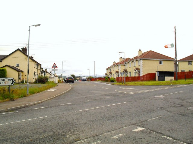
Image: © Dean Molyneaux Taken: 14 Aug 2009
This becomes Kingsmill Road after the next crossroads, sadly synonymous with the Kingsmill Massacre of January 1976.
Images are licensed for reuse under creativecommons.org/licenses/by-sa/2.0
Image Location
Latitude
54.222557
Longitude
-6.486611