Path at Radstock
Introduction
The photograph on this page of Path at Radstock by Derek Harper as part of the Geograph project.
The Geograph project started in 2005 with the aim of publishing, organising and preserving representative images for every square kilometre of Great Britain, Ireland and the Isle of Man.

There are currently over 7.5m images from over 14,400 individuals and you can help contribute to the project by visiting https://www.geograph.org.uk
Path at Radstock
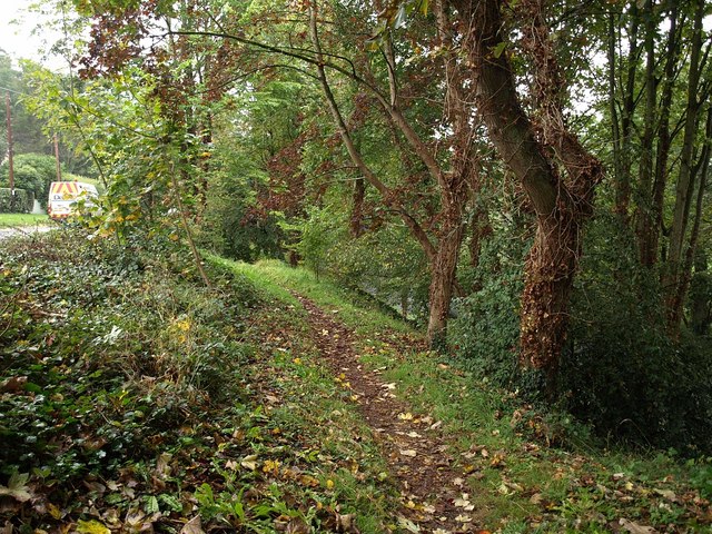
Image: © Derek Harper Taken: 7 Oct 2009
The path drops through a triangle of woodland on the slope between Welton Road (left) and Somervale Road (the A362), just discernible through the trees.
Images are licensed for reuse under creativecommons.org/licenses/by-sa/2.0
Image Location
Latitude
51.290894
Longitude
-2.458278