Bridleway to Ardenhill Spinney
Introduction
The photograph on this page of Bridleway to Ardenhill Spinney by Robin Stott as part of the Geograph project.
The Geograph project started in 2005 with the aim of publishing, organising and preserving representative images for every square kilometre of Great Britain, Ireland and the Isle of Man.

There are currently over 7.5m images from over 14,400 individuals and you can help contribute to the project by visiting https://www.geograph.org.uk
Bridleway to Ardenhill Spinney
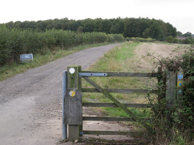
Image: © Robin Stott Taken: 8 Oct 2009
From the B4463 just south of the M40. Ardenhill Spinney is hidden by the wood in the photo (unnamed on the map) in Image The route continues to Norton Lindsey.
Images are licensed for reuse under creativecommons.org/licenses/by-sa/2.0
Image Location
Latitude
52.2628
Longitude
-1.635118