Weighbridge cottage
Introduction
The photograph on this page of Weighbridge cottage by Derek Harper as part of the Geograph project.
The Geograph project started in 2005 with the aim of publishing, organising and preserving representative images for every square kilometre of Great Britain, Ireland and the Isle of Man.

There are currently over 7.5m images from over 14,400 individuals and you can help contribute to the project by visiting https://www.geograph.org.uk
Weighbridge cottage
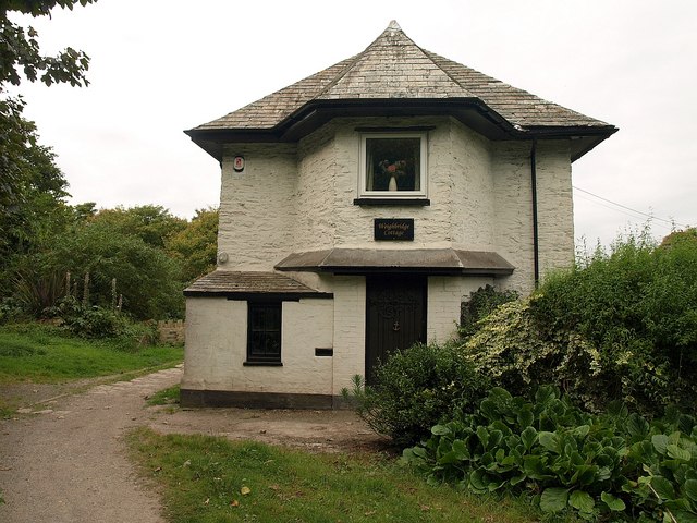
Image: © Derek Harper Taken: 2 Oct 2009
Immediately behind the cottage is the River Plym, and the path running past the cottage crosses the river on a former tramway bridge http://www.plymothiantransit.com/2008/09/plymothian-bridges-044-longbridge-road.html . The path links Coypool Road and Longbridge Road.
Images are licensed for reuse under creativecommons.org/licenses/by-sa/2.0
Image Location
Latitude
50.39268
Longitude
-4.083209