South West Elevation of Wentworth Castle
Introduction
The photograph on this page of South West Elevation of Wentworth Castle by Wendy North as part of the Geograph project.
The Geograph project started in 2005 with the aim of publishing, organising and preserving representative images for every square kilometre of Great Britain, Ireland and the Isle of Man.

There are currently over 7.5m images from over 14,400 individuals and you can help contribute to the project by visiting https://www.geograph.org.uk
South West Elevation of Wentworth Castle
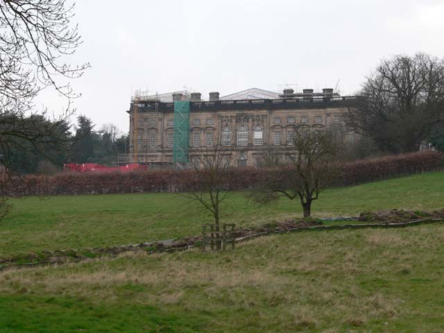
Image: © Wendy North Taken: 15 Apr 2006
Wentworth Castle is a country house dating from 1672, set in Stainborough Park near Barnsley. The estate contains 26 listed buildings, including temples, obelisks and an orangery within a Grade I listed landscape. http://www.bbc.co.uk/southyorkshire/i_love_sy/localhistory/restoration/wentworth_tour/index.shtml Wentworth Castle is currently home to Northern College, an adult education college. http://www.northern.ac.uk/
Images are licensed for reuse under creativecommons.org/licenses/by-sa/2.0
Image Location
Latitude
53.525396
Longitude
-1.518776