Railway Infrastructure
Introduction
The photograph on this page of Railway Infrastructure by Chris' Buet as part of the Geograph project.
The Geograph project started in 2005 with the aim of publishing, organising and preserving representative images for every square kilometre of Great Britain, Ireland and the Isle of Man.

There are currently over 7.5m images from over 14,400 individuals and you can help contribute to the project by visiting https://www.geograph.org.uk
Railway Infrastructure
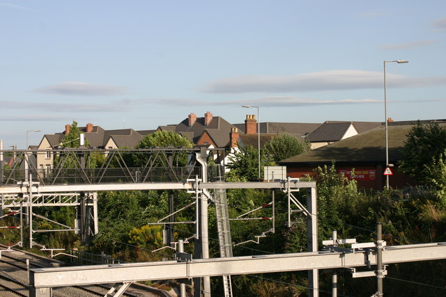
Image: © Chris' Buet Taken: 11 Aug 2009
The above photograph shows a view of part of the Railway infrastructure. This photographs shows other views of this location Image and Image
Images are licensed for reuse under creativecommons.org/licenses/by-sa/2.0
Image Location
Latitude
52.63749
Longitude
-1.69304