High Beech Road, Loughton
Introduction
The photograph on this page of High Beech Road, Loughton by Stephen McKay as part of the Geograph project.
The Geograph project started in 2005 with the aim of publishing, organising and preserving representative images for every square kilometre of Great Britain, Ireland and the Isle of Man.

There are currently over 7.5m images from over 14,400 individuals and you can help contribute to the project by visiting https://www.geograph.org.uk
High Beech Road, Loughton
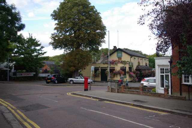
Image: © Stephen McKay Taken: 4 Oct 2009
Showing the junction between High Beech Road and Smart's Lane as well as the Victoria - one of Loughton's best loved pubs.
Images are licensed for reuse under creativecommons.org/licenses/by-sa/2.0
Image Location
Latitude
51.648657
Longitude
0.050627