Stream near Deerpark
Introduction
The photograph on this page of Stream near Deerpark by Derek Harper as part of the Geograph project.
The Geograph project started in 2005 with the aim of publishing, organising and preserving representative images for every square kilometre of Great Britain, Ireland and the Isle of Man.

There are currently over 7.5m images from over 14,400 individuals and you can help contribute to the project by visiting https://www.geograph.org.uk
Stream near Deerpark
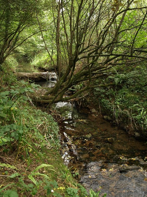
Image: © Derek Harper Taken: 2 Oct 2009
The stream runs through woodland behind the closes on Deer Park Drive. For much of its route it seems to be culverted between the A38 Parkway.
Images are licensed for reuse under creativecommons.org/licenses/by-sa/2.0
Image Location
Latitude
50.394721
Longitude
-4.104686