Multi-Use of Land in Shillinglee Park
Introduction
The photograph on this page of Multi-Use of Land in Shillinglee Park by Colin Smith as part of the Geograph project.
The Geograph project started in 2005 with the aim of publishing, organising and preserving representative images for every square kilometre of Great Britain, Ireland and the Isle of Man.

There are currently over 7.5m images from over 14,400 individuals and you can help contribute to the project by visiting https://www.geograph.org.uk
Multi-Use of Land in Shillinglee Park
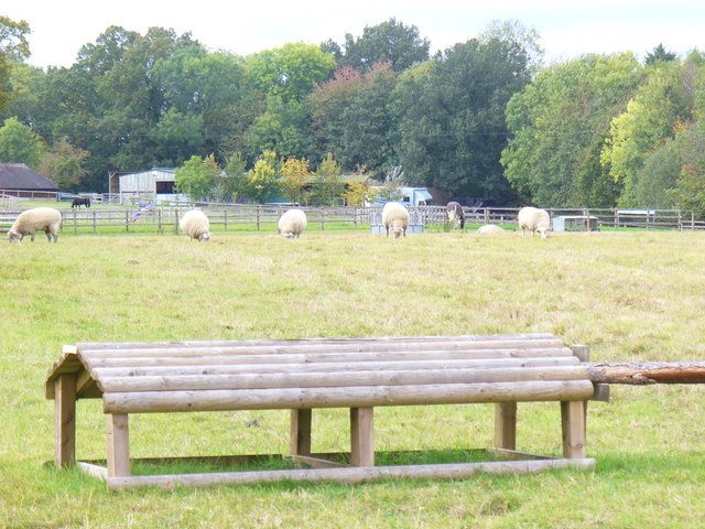
Image: © Colin Smith Taken: 3 Oct 2009
Grazing sheep share a field with horse jumps. The Sussex Border Path runs alongside this field. Many woods remain in this area of the Low Weald.
Images are licensed for reuse under creativecommons.org/licenses/by-sa/2.0
Image Location
Latitude
51.08515
Longitude
-0.615917