Road to Efford Fort
Introduction
The photograph on this page of Road to Efford Fort by Derek Harper as part of the Geograph project.
The Geograph project started in 2005 with the aim of publishing, organising and preserving representative images for every square kilometre of Great Britain, Ireland and the Isle of Man.

There are currently over 7.5m images from over 14,400 individuals and you can help contribute to the project by visiting https://www.geograph.org.uk
Road to Efford Fort
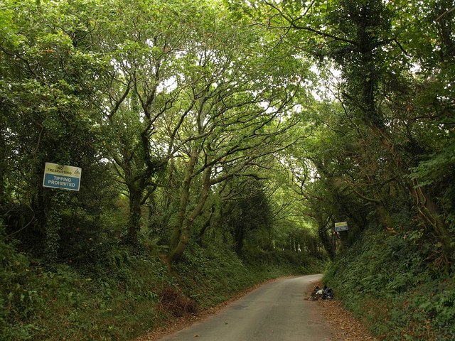
Image: © Derek Harper Taken: 2 Oct 2009
This is what you find when attempting to gain access to Efford Fort by the principal road leading to it. The notices say, unequivocally "no trespassing". "Efford Fort was one of the ring of Victorian Palmerston's Follies built to provide defence from risk of French invasion. The area was also heavily occupied by the American army during the preparations for D-Day". http://en.wikipedia.org/wiki/Efford . I can only echo the sentiments of Bob Bruce, one of a visiting party from the Plymouth & District Archaeological Society: "Most of us were surprised how extensive the Palmerston works were and how much had survived, though often concealed by vegetation. Some of us wondered whether Plymouth should be making more of this part of its military heritage." http://www.plymarchsoc.org.uk/laira%20battery%202.html
Images are licensed for reuse under creativecommons.org/licenses/by-sa/2.0
Image Location
Latitude
50.390685
Longitude
-4.094096