Lane junction on Cripple Hill
Introduction
The photograph on this page of Lane junction on Cripple Hill by David Anstiss as part of the Geograph project.
The Geograph project started in 2005 with the aim of publishing, organising and preserving representative images for every square kilometre of Great Britain, Ireland and the Isle of Man.

There are currently over 7.5m images from over 14,400 individuals and you can help contribute to the project by visiting https://www.geograph.org.uk
Lane junction on Cripple Hill
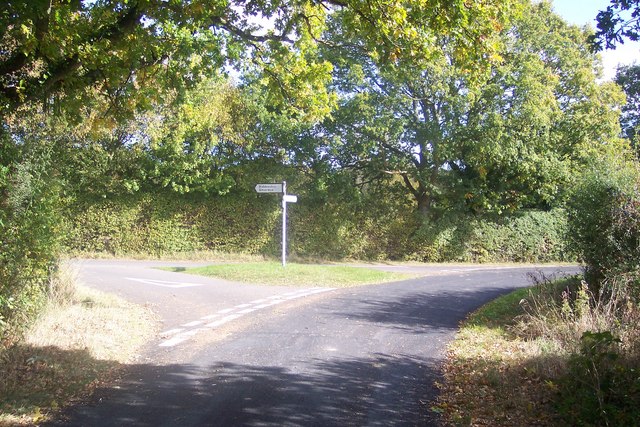
Image: © David Anstiss Taken: 4 Oct 2009
Cripple Hill from Biddenden Road (signposted towards Tenterden) heads right towards Bethersden. Harris Lane heads left towards Biddenden and Smarden (via Further Quarter).
Images are licensed for reuse under creativecommons.org/licenses/by-sa/2.0
Image Location
Latitude
51.111758
Longitude
0.702005