Station Road, Tring
Introduction
The photograph on this page of Station Road, Tring by Chris Reynolds as part of the Geograph project.
The Geograph project started in 2005 with the aim of publishing, organising and preserving representative images for every square kilometre of Great Britain, Ireland and the Isle of Man.

There are currently over 7.5m images from over 14,400 individuals and you can help contribute to the project by visiting https://www.geograph.org.uk
Station Road, Tring
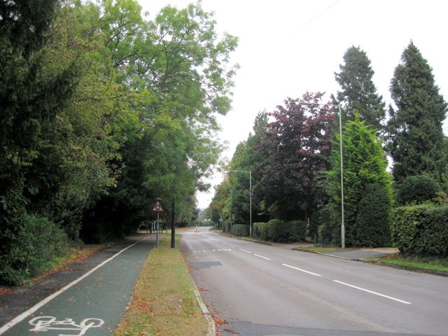
Image: © Chris Reynolds Taken: 7 Oct 2009
Station Road was constructed in early Victorian times to link Tring with Tring Railway Station, bypassing Pendley Manor/Farm. The trees on the right hide largish houses, probably mainly built pre-war, although there has been later infilling and rear developments. The trees on the left hide mid-20th century housing.
Images are licensed for reuse under creativecommons.org/licenses/by-sa/2.0
Image Location
Latitude
51.797179
Longitude
-0.649622