Path to Chestfield Golf Course
Introduction
The photograph on this page of Path to Chestfield Golf Course by David Anstiss as part of the Geograph project.
The Geograph project started in 2005 with the aim of publishing, organising and preserving representative images for every square kilometre of Great Britain, Ireland and the Isle of Man.

There are currently over 7.5m images from over 14,400 individuals and you can help contribute to the project by visiting https://www.geograph.org.uk
Path to Chestfield Golf Course
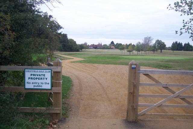
Image: © David Anstiss Taken: 30 Sep 2009
This golf course is split in two by Molehill Road. This part leads towards the clubhouse and holes 18 and 1, and a practice green. The rest of the course is behind the viewer leading towards Shrub Hill.
Images are licensed for reuse under creativecommons.org/licenses/by-sa/2.0
Image Location
Latitude
51.348341
Longitude
1.068936