Higher Ainsworth Road
Introduction
The photograph on this page of Higher Ainsworth Road by Colin Pyle as part of the Geograph project.
The Geograph project started in 2005 with the aim of publishing, organising and preserving representative images for every square kilometre of Great Britain, Ireland and the Isle of Man.

There are currently over 7.5m images from over 14,400 individuals and you can help contribute to the project by visiting https://www.geograph.org.uk
Higher Ainsworth Road
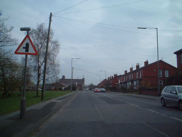
Image: © Colin Pyle Taken: 23 Apr 2007
Looking SE along the B6292, with the junction of Grindsbrook Rd ahead on the left.
Images are licensed for reuse under creativecommons.org/licenses/by-sa/2.0
Image Location
Latitude
53.577471
Longitude
-2.340679