Higher Town, Malborough
Introduction
The photograph on this page of Higher Town, Malborough by Derek Harper as part of the Geograph project.
The Geograph project started in 2005 with the aim of publishing, organising and preserving representative images for every square kilometre of Great Britain, Ireland and the Isle of Man.

There are currently over 7.5m images from over 14,400 individuals and you can help contribute to the project by visiting https://www.geograph.org.uk
Higher Town, Malborough
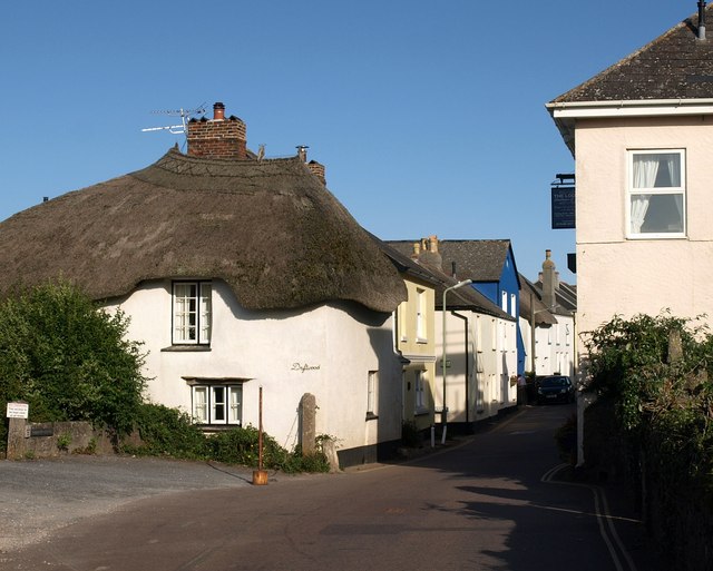
Image: © Derek Harper Taken: 1 Oct 2009
An attractive thatched cottage begins the row of buildings along the north side of the village street.
Images are licensed for reuse under creativecommons.org/licenses/by-sa/2.0
Image Location
Latitude
50.244216
Longitude
-3.813045