Glen Road at Dullatur
Introduction
The photograph on this page of Glen Road at Dullatur by Robert Murray as part of the Geograph project.
The Geograph project started in 2005 with the aim of publishing, organising and preserving representative images for every square kilometre of Great Britain, Ireland and the Isle of Man.

There are currently over 7.5m images from over 14,400 individuals and you can help contribute to the project by visiting https://www.geograph.org.uk
Glen Road at Dullatur
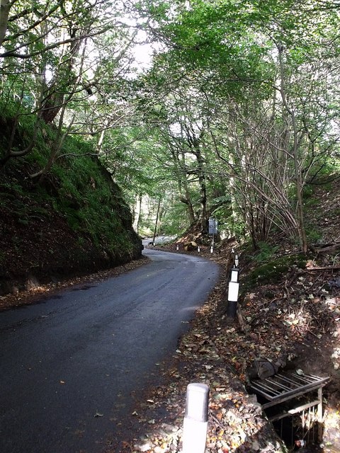
Image: © Robert Murray Taken: 6 Oct 2009
Before the building of the railway in 1844 this road went directly to East Dullatur Farm but was re-aligned. On the western (left in this photo) side of this road are the workings of three old quarries and it may be that the route itself is the result of that quarrying. Further down the glen there were two limekilns. The burn flowing down the right hand side of the road is the Chantyclear burn. This burn flows to Dullatur Bog where it joins up with drainage ditches and eventually flows under the Forth & Clyde Canal to join another drainage ditch called Kelvin Water.
Images are licensed for reuse under creativecommons.org/licenses/by-sa/2.0
Image Location
Latitude
55.969176
Longitude
-4.00736