Trinity Church
Introduction
The photograph on this page of Trinity Church by Bill Nicholls as part of the Geograph project.
The Geograph project started in 2005 with the aim of publishing, organising and preserving representative images for every square kilometre of Great Britain, Ireland and the Isle of Man.

There are currently over 7.5m images from over 14,400 individuals and you can help contribute to the project by visiting https://www.geograph.org.uk
Trinity Church
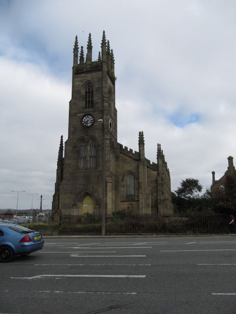
Image: © Bill Nicholls Taken: 26 Sep 2009
Back to Trinity Church, I think this one is past saving and probably due for demolition. Unfortunately some poor soul fell through the roof when working up there and was killed. http://www.theboltonnews.co.uk/news/1394452.tributes_to_surveyor_in_roof_fall/
Images are licensed for reuse under creativecommons.org/licenses/by-sa/2.0
Image Location
Latitude
53.57387
Longitude
-2.426426