Footpath to Barton Down
Introduction
The photograph on this page of Footpath to Barton Down by David Anstiss as part of the Geograph project.
The Geograph project started in 2005 with the aim of publishing, organising and preserving representative images for every square kilometre of Great Britain, Ireland and the Isle of Man.

There are currently over 7.5m images from over 14,400 individuals and you can help contribute to the project by visiting https://www.geograph.org.uk
Footpath to Barton Down
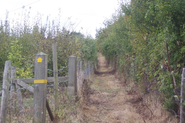
Image: © David Anstiss Taken: 30 Sep 2009
This path leads from Broad Oak Road, via a path around the former quarry works. Path does not match the OS Maps due to the work on the former quarry.
Images are licensed for reuse under creativecommons.org/licenses/by-sa/2.0
Image Location
Latitude
51.296965
Longitude
1.093483